Our services
Digital Twins
Inspections
photogrammetry
Photogrammetry is a very precise measurement technique that makes it possible to create digital models from photographs.
These models are used to create digital twins, map areas, measure distances and volumes
3d Models


Digital Elevation Models

Orthomosaics
Inspections
Drones offer many advantages when it comes to inspections; Remotely controlled, they avoid the dangers inherent in places that are difficult to access. Their speed and maneuverability facilitate thorough and frequent inspections.
They are equipped with 4K cameras in different spectrums, which make real-time or late analyses of inspections possible in various areas of construction, from industry to agriculture and heritage. The geolocation of the data allows the exact positioning of the disorders encountered.
Interactive view Mouse or Touch interactive view
3d digital twins
By creating detailed digital replicas of historic sites, digital twins enable accurate documentation and continuous monitoring of the state of conservation of these sites.
This helps to archive and preserve cultural heritage for future generations and to guide conservation efforts by planning maintenance and preservation measures.
It can capture very high-quality images and provide data to generate shots at different angles with centimetre or even lower accuracy.
In addition, it can cover significant distances without requiring field travel. Very useful for steep slopes.
The images we produce are compatible with all professional software on the market.
CAD formats – .dxf / .fbx / .dwg / .obj / .dae / .ply / .stl / .abc / .osgb, etc...
Digital Elevation Models
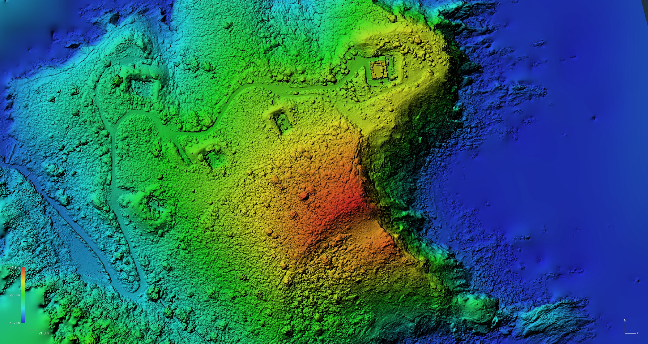
Drones collect accurate, high-resolution data at a given site, combining aerial images at various angles.
These images are then converted into digital terrain models (DTMs/DEMs) that can be used for a variety of applications, including land use planning, risk and benefit analysis and natural resource management.
DTMs can also be used for 3D modelling and environmental simulation, with drones offering a reliable and accurate method for topographic surveys, higher accuracy and resolution than traditional survey techniques and can be used for larger and more complex areas, especially for steep slopes.
Available formats .tif / .gpkg / .mbtiles / .kmz / .asc / .bil / .xyz


Orthomosaics
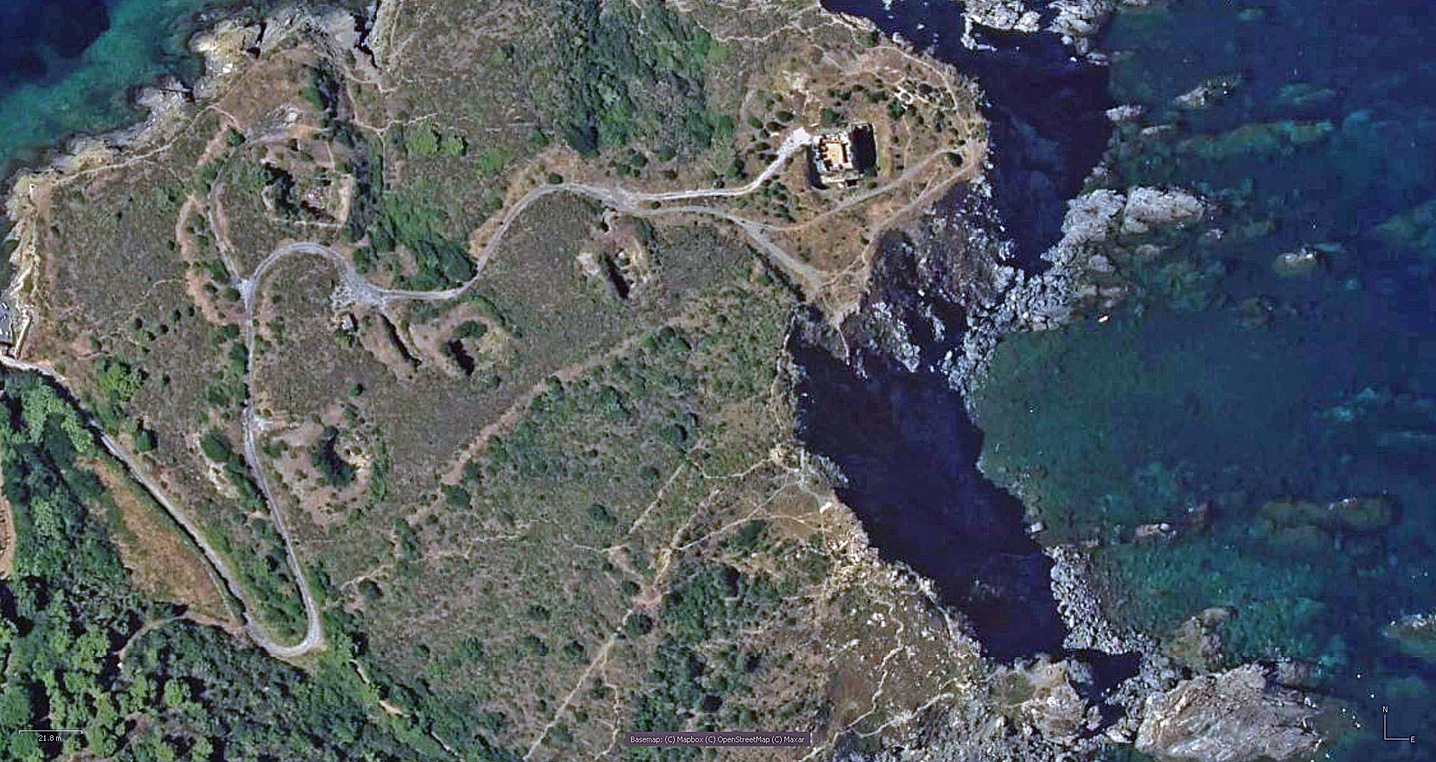
It is an aerial photography model that makes it possible to produce vertical view, geolocated very precise images of a site.
Orthophotographs are often used to create topographic maps, soil study maps and reference maps.
They are useful for urban planners, engineers, scientists and geographers to visualize and understand complex landscapes and to predict and plan for environmental change.
Available formats .tif / .gpkg / .mbtiles / .kmz / .asc / .bil / .xyz
Inspection Buildings and Structures
Drones are revolutionizing construction and construction through their intervention potential and the resulting data.
The advantages are numerous.
Inspection and monitoring:
They can perform real-time inspections of buildings and structures, and collect data that can be used to monitor the condition of buildings and structures and relayed to architects, design offices, and engineers for better design accuracy and quality.
This is in order to establish accurate diagnoses on hard-to-reach places that may require heavy interventions until then.
They can also monitor and secure construction sites, track movements and people around buildings and facilities, and alert them to problems.
Real Estate
Drones can monitor large areas and provide real-time data, enabling increased surveillance and security for heritage and real estate sites.
They allow for the capture of high-resolution georeferenced images to help with the inventory of assets and buildings to be archived.
They can be used to monitor heritage and property sites in the event of natural disasters, such as fires, floods and earthquakes as well as the assessment of on-site risks such as those related to soil, structural stability, flooding and building safety.

